About us
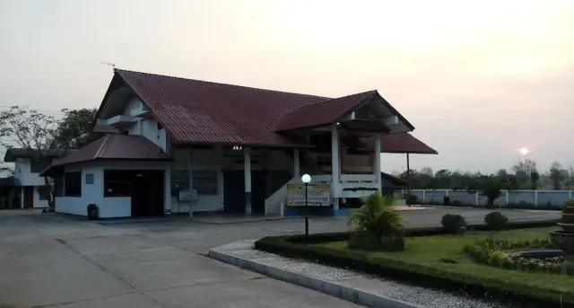
Our village is บ้านห้วยหัน–ไทรงาม, Ban Huai Han and Sai Ngam — Moo 4 and 11, Tambon Wang Chomphu, Amphoe Nong Bua Daeng, Chaiyaphum 36210, in Isan, the north-east of Thailand. Find us on the map ดูแผนที่
There are really two villages. Huai Han grew too large for the authorities to manage as one, so Sai Ngam was created beside it. Together we are around two thousand people.
The land
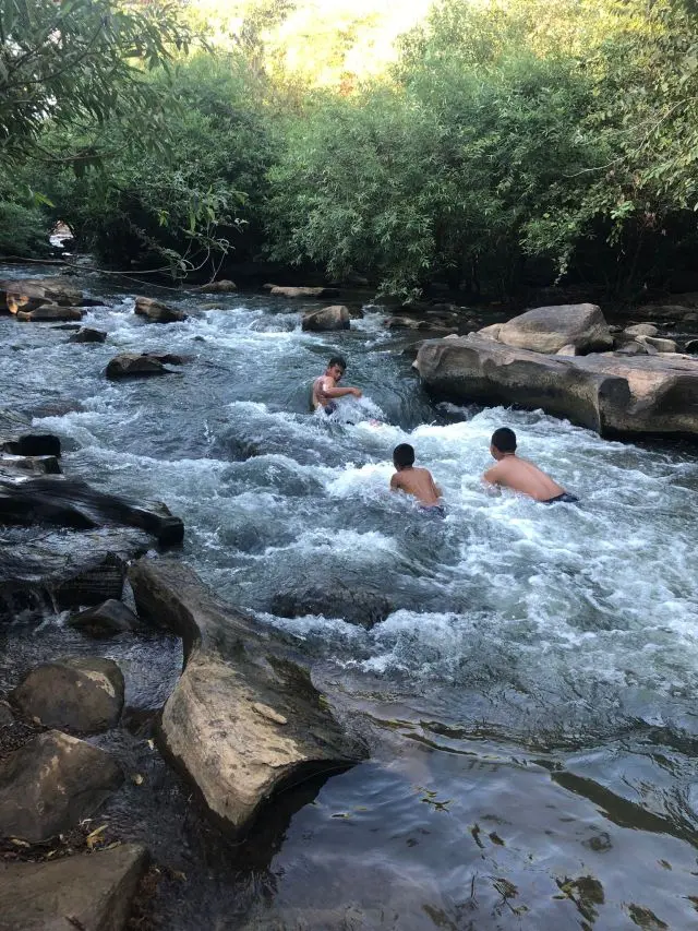
The village lies at 254 metres above sea level, on the rolling ground between the Chaiyaphum hills and the Phetchabun range. The soil is worked for sugar cane, rice and cassava, and the DADAD Waterfall falls in the forest nearby.
The weather
The climate
Isan has a tropical monsoon climate: a wet season carried in on the south-west monsoon, and a dry, cooler season under the north-east monsoon.
The figures below are measured for this village — every year from 1940 to today, and the WMO normal period 1991–2020 as the reference.
The last three rainy seasons
The three driest rainy seasons in this record are the three most recent ones. Between May and October 2026 brought 970 mm to the village, against a normal of 1,584 mm — the lowest of the 87 years. 2024 and 2025 follow it.
In only four years since 1940 was every month of the rainy season below normal. Three of those four are 2024, 2025 and 2026.
October 2026 makes the point on its own: 34 mm here, while thirty provinces of Thailand were under water.
⚠️ These figures come from a reanalysis — a model fed with observations — not from a rain gauge in the village, and the years before 1979 rest on thin data. But 2026 is the lowest year since 1979 as well, and that stretch is well observed. Three years are not a trend. They are what happened.
Nearly three quarters of the rain falls between May and October. The hottest day measured between 2015 and 2024 reached 40.4 °C; the coldest morning fell to 8.7 °C.
April is the hard month — hot and still dry. September is the wettest.
Where these figures come from
Daily values for 16.1265° N, 101.6196° E from the ERA5 reanalysis of the Copernicus Climate Change Service (C3S), retrieved through Open-Meteo. The monthly and yearly figures shown on this page were calculated from those daily values.
Weather data by Open-Meteo.com, licensed CC BY 4.0.
Generated using Copernicus Climate Change Service information 2026. Neither the European Commission nor ECMWF is responsible for any use made of the information it contains.
Farming
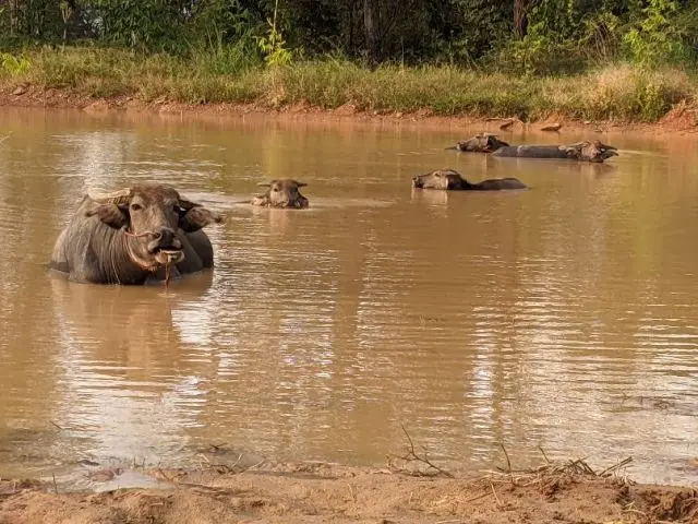
Most adults here farm, all year or for part of it. The main crops are sugar cane, rice and cassava; some families also keep rubber trees and oil palms. There are fish ponds, chickens, ducks, cattle, and the water buffalo that have always been bred here.
Rain decides the year here. Cane is planted into the first reliable rains, rice follows with the flood of the paddies, and cassava is lifted when the ground has dried again. A week of rain at the wrong moment, or a week too few at the right one, changes a whole season — which is why the forecast above sits on this page.
Faith and community
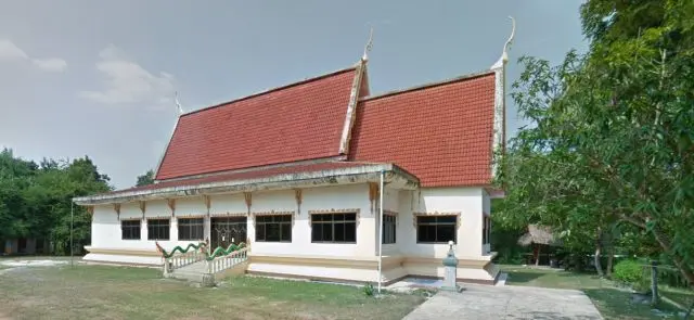
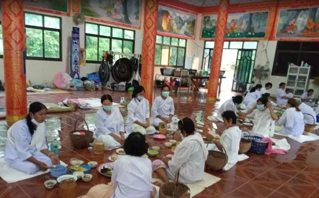
Our people are Buddhists. The monks of วัดรัตนคงคาราม — Wat Rattana Khongkha Ram accompany the life of the village, and the year is marked by its festivals: Songkran, Khao Phansa, Loi Krathong, Magha Bucha.
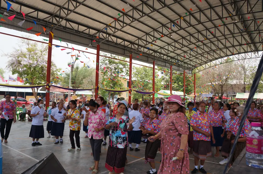
Family, friendship and a sense of belonging count for more here than what anyone owns. That is what makes this village what it is.